Via Dinarica Bosnia: Huts, Stages & Logistics
Plan the Via Dinarica White Trail in Bosnia: 12 stages, 334 km, hut booking, trailheads, closures and three workable section packages.
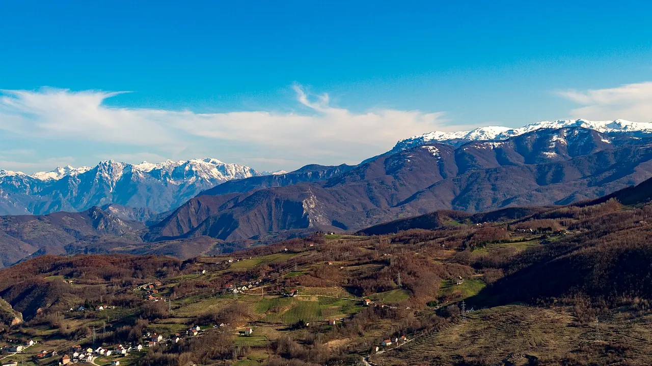
The Via Dinarica White Trail through Bosnia is 12 regional stages and about 334 km, not a tidy dozen day-walks. Official portal stats put it at 334.5 km, roughly 120 hours of walking and 18,723 m of ascent, with the high point on the connecting trail itself at Vilinac (2,118 m) and the low point in Jablanica (200 m). That’s the waymarked route’s own ceiling, not the tallest thing it passes near: Zelena Glava (2,155 m) on Prenj and Maglić (2,386 m) in Sutjeska are summits beside the trail, reached by an optional push off the through-route, not stops on it. If you’re flying in from the US, UK or elsewhere in Europe for one week, you don’t thru-hike it - you pick a cluster of stages, book the huts by phone, and plan how you’ll get on and off the ridge. This page is that logistics layer. For massif day-hikes and the landmine habit that frames every walk here, start with our hiking in Bosnia hub and come back when you’re ready to string nights together.
What a “stage” means on this trail
The Via Dinarica portal is blunt about the labelling: the Bosnian White Trail’s 12 stages are mountain areas or geographic regions, not daily sections. That’s why “12” sounds friendly and “120 hours” doesn’t. On paper, mountain shelters and huts sit at roughly every 6 to 8 hours of walking; where a hut isn’t possible, the network leans on rooms in village households. Steeper ground often has a gentler forest-road alternative.
Water is the other line worth taking seriously. Drinking sources and wells exist on every stage, and some areas are still poor in water. On limestone ridges that gap is the difference between a comfortable day and a miserable one - fill every bottle when you can.
Three section packages that fit a holiday window
Almost nobody who comes for a week walks all 334 km end to end. These three packages match how the official stages clump, and they leave you with a town night when you need food, a shower and a bus.
1. Herzegovina highlight: Blidinje, Čvrsnica, Jablanica (4-6 days)
Start with BH-W-04 (Vran and Blidinje Lake): the portal lists 11.2 km, about 5 hours 15 minutes, 770 m of ascent, high point Vran at 2,020 m. It’s a ridge day with a steep descent to the mountain lodge on Blidinje’s shore, then an easy walk across the field to Masna Luka. From there you climb into the headline stage.
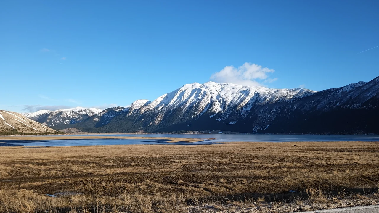
BH-W-05 (Čvrsnica) is 35 km, about 12 hours 40 minutes, 1,334 m up and 2,353 m down, high point Veliki Vilinac - the portal rounds this to 2,117 m on this stage page and 2,118 m on the trail-wide overview, while the mountaineering club’s own summit list gives 2,116 m; call it 2,116-2,118 m and don’t worry about the metre. The portal calls the Vilinac mountain hut the highest lodge on the whole Via Dinarica; the hut’s own page and the mountaineering federation’s hut card both put it at 1,961 m, though this stage overview rounds that to about 1,964 m. Highlights on the same stage include Crvenjak lake, the rock arch of Hajdučka vrata, Trinjača (2,045 m) and the Plasa plateau. The portal’s own advice is to take two or even three days and overnight at Vilinac or Plasa - this is exposed limestone with water is only in a few places and you refill at every one of them, not ground to rush.
There’s a live catch you have to check before you book flights around this cluster. As of 5 September 2026, the portal still flags the Plasa-Jablanica descent on BH-W-05 as temporarily closed after heavy rain wrecked the lower path. The stage page stays “Open” overall and points to an alternatives note - read that note the week you walk, not the week you plan. Jablanica itself remains the natural resupply town once you’re off the mountain: buses toward Mostar and Sarajevo, a WWII museum stop, and the spit-roast lamb the town is known for (see our Jablanica stop guide). For the plateau side before you climb, our Blidinje Nature Park page covers road access and where to sleep without a hut booking.
2. Prenj as its own expedition (3-5 days)
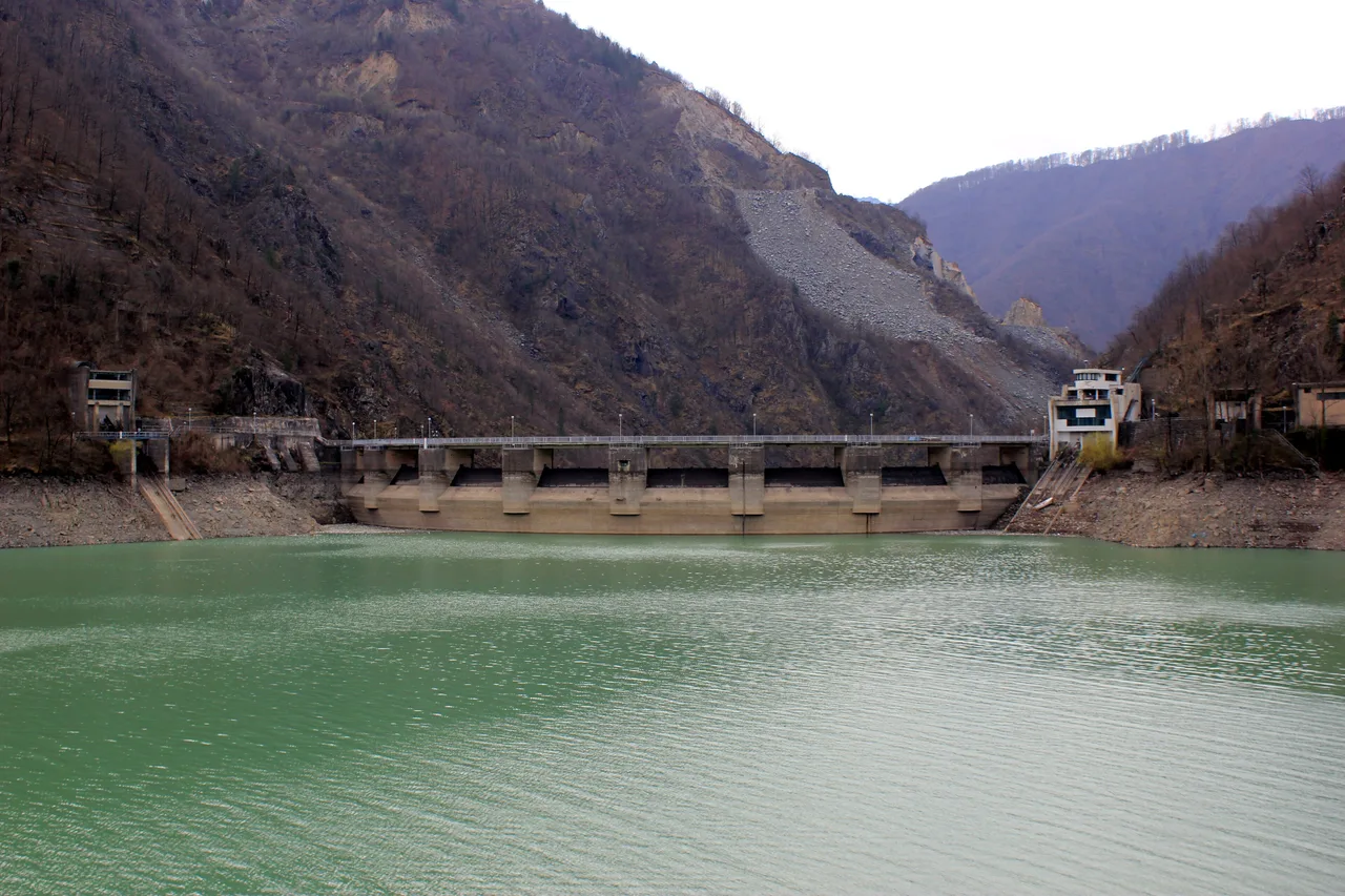
BH-W-06 isn’t a side trip you tack onto Čvrsnica because you have a free afternoon. The portal measures Prenj west-to-south at 58.1 km, about 24 hours of walking, 3,813 m of ascent, rated T4 difficult, and the route passes Zelena Glava (2,155 m) - an optional summit the stage notes let you skip, continuing straight past if you’d rather not climb it. That 24-hour figure is total walking time across however many days you split it; the portal doesn’t publish a day-by-day breakdown here the way it does for Čvrsnica. The “3-5 days” in this heading is our own estimate, not an official portal stat. From Jablanica it follows the Neretva corridor, climbs past the Cetina rock face, crosses Zakantar, and drops toward Rujište above Mostar, with huts at Medjuprenje, Vrutak and Bijele Vode along the way.
Read the stage’s own safety block before you decide you’re the right party for it. The portal’s own advice is blunt: contact local guides for a great experience - and our hiking in Bosnia hub puts it more bluntly still: this is the massif where a guide earns their money, and if you’re self-guiding a first visit to the country, leave Prenj for the next trip. The marked trail itself is described as safe, but it crosses a mine-suspected strip about 500 m long after leaving the road, plus other marked suspected spots near Zakantar spring and Vrutak hut. Stay inside the paint. Summer snow and sub-zero nights are not rare up here, and mobile signal is patchy - leave your route with someone. Call 121 for mountain rescue coordination; for anything short of that, Bosnia’s everyday emergency numbers are 122 (police), 123 (fire) and 124 (ambulance) - the country’s EU-style 112 system isn’t fully rolled out, so don’t lean on 112 alone up here. If Prenj is your goal, bring a guide and treat it as the trip. Day-walkers who only want a taste of the massif are better served by that hub’s Prenj section instead.
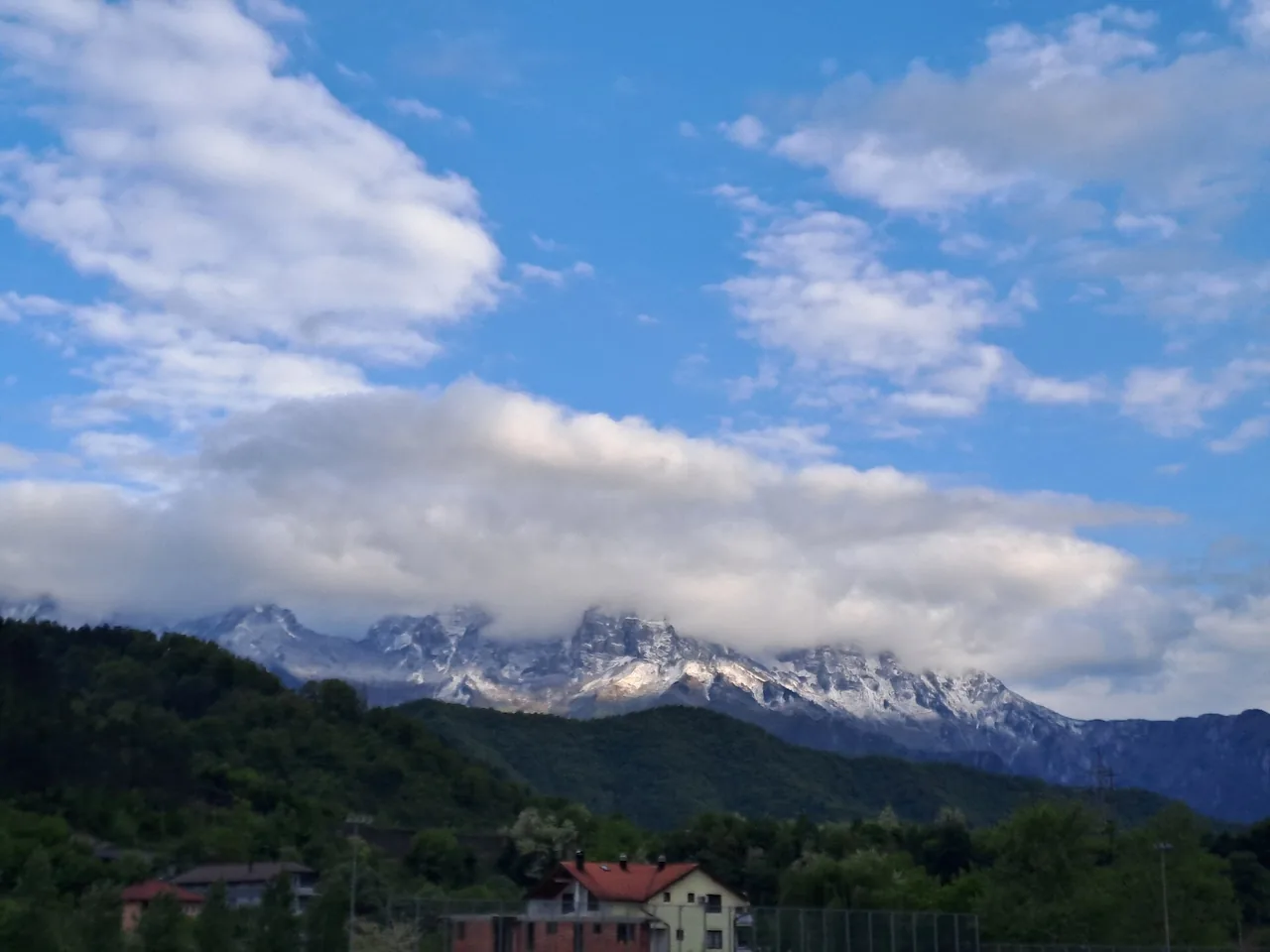
3. Bjelašnica to Lukomir, or the Sutjeska finish (2-4 days each)
If your flight lands in Sarajevo and you want Via Dinarica texture without a full Herzegovina shuttle, BH-W-08 is the stage that delivers. Official figures: 32.5 km, about 10 hours, 2,203 m of ascent from the Boračko / Neretva side up the Rakitnica canyon to Lukomir, the highest permanently inhabited village in the country. The portal recommends a water filter (wells, not streams), watching for snakes in long grass, and - if you split it over two days - carrying a tent. There’s also a practical tip worth stealing: ask your Boračko host for a lift to the Neretva suspension bridge and skip the dull asphalt kilometres. Don’t assume Lukomir covers the overnight for you: the portal names only a water fountain, a small restaurant/bar and one unnamed guesthouse by the Stećci necropolis at the village’s edge, and our own Lukomir village guide treats the place as a seasonal, informal stop: run it as a long day out from Sarajevo, and don’t count on a bed waiting at the end - ask locally well before you arrive, or carry the tent the stage notes already tell you to pack. The Bjelašnica & Igman page covers the plateau approach from the Sarajevo side if you’d rather day-hike in from Umoljani instead of walking the full canyon stage.
At the other end of the Bosnian White Trail, stage BH-W-12 runs from Donje Bare through Zelengora, past Prijevor, to Trnovačko Lake - and that finish line sits across the border in Montenegro, not in Bosnia. The portal’s own route notes put the line “across the Suva Jezerina,” and there is no border post out here - but there is no legal grey area either. Montenegro’s border law allows crossings only at official crossing points, and the four with Bosnia are Vracenovici, Scepan Polje, Sitnica and Ilino brdo; crossing anywhere else without police approval is an offence carrying a fine of 100 to 1,100 EUR. Via Dinarica’s own trail guide is blunt that you most likely need a cross-border permit for any international border on this route, and the practice it describes is a there-and-back: walk to the lake or the summit, then return into Sutjeska. If Montenegro is your next country rather than your afternoon, enter it properly at Scepan Polje and get the entry stamp - a walk-in with no stamp becomes your problem when you try to leave. The climb toward Maglić (2,386 m) - the country’s highest summit, named as such on the park’s own site - is a separate push from the Prijevor saddle, usually done as its own day, not a stop on the walk to the lake. That finish wants a car to Tjentište and weather patience. Park fees run from the official 2026 price list: 20 KM a day for the protected zone, 5 KM for the Tjentište memorial complex, 70 KM for the Perućica strict reserve, which you cannot enter on your own - the reserve is walked only with a park guide booked at the Tjentište visitor centre, and the guide is a separate line on the same price list, 200 KM a year for a season pass or 300 KM a year for a family ticket covering up to five people (a couple and their children), and a guide for a group of up to eight costs 300 KM for the Maglić ascent or 200 KM for a Trnovačko Lake tour. Full park logistics live in our Sutjeska & Maglić guide.
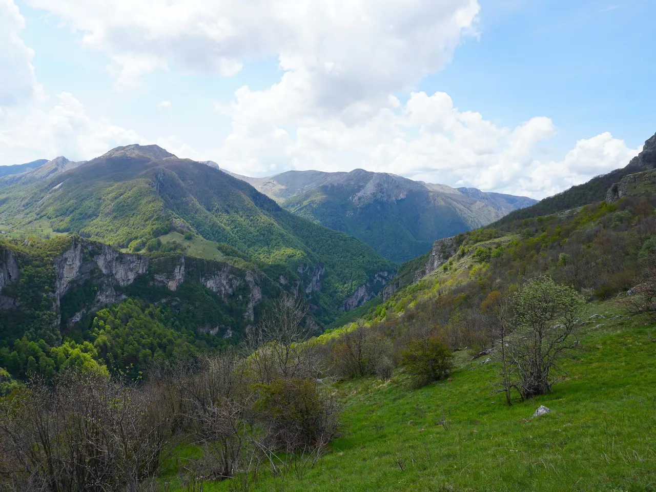
Sleeping on and off the trail
Bosnian mountain huts are not Alpine huts with an online booking engine. Some publish a price list on their own hut page if you know where to look; others won’t name a figure until you call. Either way the workable pattern is the same: phone or email the club that runs the hut, book the night, confirm what’s included, and carry cash - convertible marks (KM), or euros where the hut says so. Cards die on the ridge.
Planinarski dom Vilinac is the clearest counter-example, because it actually publishes a price list - the trail portal’s own hut page has it in black and white. Rates run in three tiers: 15 KM for guests with a mountaineering federation card, 20 KM for guests from other ex-Yugoslav countries, and 35 EUR for everyone else, breakfast and dinner included. Book uz prethodnu najavu (by prior arrangement) and pay cash - no cards up here. Neither the trail portal nor the club dates that tariff, so confirm it when you call. The hut has no winter room (the portal lists capacity there as zero), so whenever the hut is shut there is nothing to duck into if the weather turns. The trail portal’s hut card and the mountaineering federation both put the building at 1,961 m; the portal dates the original lodge to 1939 and says it was rebuilt within the last few years, while the club’s own site says it has been in operation since 2010; capacity runs around 50 on the club’s own site, 40 beds in the portal hut card’s own text - though the same card’s fields add up to 34, thirty in the dorm plus four more - and 35 to 40 on the federation’s card - neither figure is a promise, so call and confirm before you count on a bunk. One attribution to get right: the club’s own page gives peak elevations, not the hut’s - Vilinac summit at 2,116 m, Mali Vilinac at 1,836 m - so the 1,961 m figure comes from the federation and the trail portal, not from vilinac.ba. Contacts: +387 61 043 241 (main hut line), Sabahudin Spahović +387 61 484 091, or the club’s own number +387 65 718 298 / vilinac@gmail.com. Approach times the club itself lists: about 3.5 hours from Risovac via Vitlenica, about 7 hours from Jablanica via Plasa and Hajdučka vrata, and about 5 to 5.5 hours from Diva Grabovica depending on the line. Book before you walk; don’t assume a midweek walk-up bed in August.
Elsewhere the pattern repeats with different clubs: Blidinje lake lodge on BH-W-04, Plasa on the Čvrsnica descent, Medjuprenje / Vrutak / Bijele Vode / Rujište on Prenj, informal village rooms in Umoljani, an ask-around guesthouse or a tent in Lukomir, park accommodation around Tjentište. Where a hut is shut or full, the White Trail overview explicitly points you to rural households. A light tent is still insurance on Prenj and on long canyon days - the BH-W-08 notes say so outright if you split the stage. Check that your travel insurance actually covers hiking at this level, too - some policies classify multi-day mountain routes as an adventure-sports add-on that needs its own rider.
Town nights between clusters matter as much as hut nights. Jablanica is the Neretva resupply hinge after Čvrsnica. Konjic and Mostar catch Prenj exits toward Rujište. Sarajevo is the obvious base before Bjelašnica stages and after you drop off the plateau - our where to stay in Bosnia guide is built for that decision, not for picking a bunk on the ridge.
Getting to the trailheads
Public transport serves the valleys; it almost never serves the trailhead car park. Buses run through Jablanica toward Mostar and Sarajevo - enough to start Prenj or finish Čvrsnica if the Plasa descent is open or you’ve taken the published alternative - but not every departure actually calls in Jablanica, so check the specific service before you build a schedule around it. Blidinje access is by road from Tomislavgrad, Posušje or Jablanica - the BH-W-04 page says there’s no public transport yet to that trailhead. Lukomir and Umoljani want a car with clearance for the last gravel, a pre-arranged lift, or the patience to hike in. Sutjeska’s Maglić and Trnovačko approaches are the same story: drive to Tjentište / Prijevor or join a guided park trip.
The practical pattern for visitors flying in is a hire car for the trailhead days, a hut-to-hut stretch in the middle, and a taxi or bus back to the car or the airport. Two cars (spot one, walk to the other) works for short sections if you’re two families or two groups travelling together. Solo thru-hikers lean harder on mountain clubs, guesthouse owners and the informal lifts the portal itself keeps suggesting in stage notes.
Season, gear and the call that matters
High Bosnian limestone is a June to September proposition for stable overnight hut travel. Shoulder months can still hold snow on Prenj and Maglić; October turns the high villages quiet. Carry proper boots, a rain shell, offline GPX from the official trail pages, headlamp, first aid, whistle, and enough food and water for the stage you’re on.
Before any hard day, leave your route with someone. In an emergency, call the Civil Protection operations centre on 121, which coordinates the volunteer mountain rescue teams; stage pages sometimes list 112 instead, but the national Via Dinarica safety page stresses 121, and the Prenj section above has the everyday police/fire/ambulance numbers if what you need isn’t a rescue. Carry the free BHMAC mine-risk map. On Android it is BH Mine Suspected Areas on Google Play, published by the BHMAC dev team and last updated in October 2025. The iPhone version has been pulled from the App Store, so on iOS use EUFOR’s free BHMAC minefield map sheets in your browser and save the PDFs offline before you lose signal - stay on painted waymarks, and treat an unmarked meadow as closed ground. Multi-day walkers get tired and start cutting corners on day four - that’s when the rule matters most.
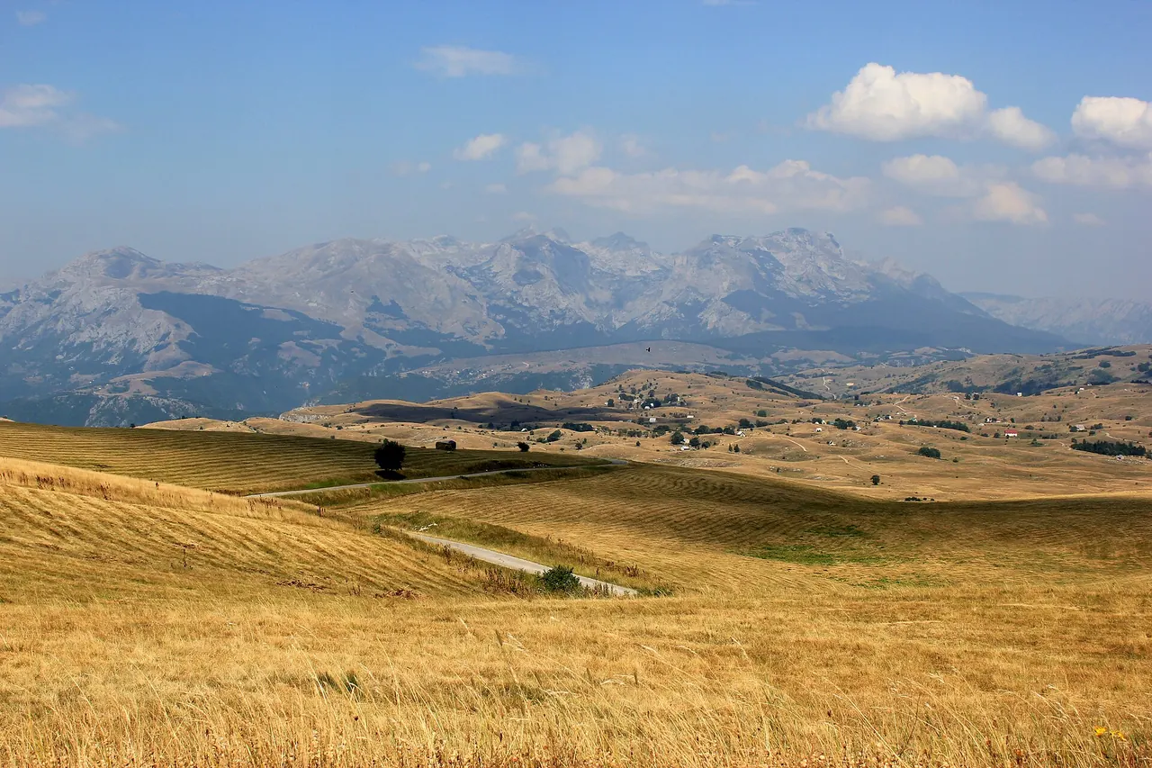
Build the week around one cluster, not the whole trail
If you’ve got seven to ten days and the White Trail is why you came, pick one package above and protect the buffer days. Weather on Prenj and Čvrsnica can erase a summit day; hut guardians need notice; the Plasa-Jablanica closure can force a road walk or a taxi you didn’t budget. Download GPX from the official stage pages the week you walk, not from a spring screenshot. Sleep in a real bed the night before - Sarajevo for Bjelašnica, Mostar or Jablanica for Herzegovina - and keep the ridge as the trip. The city transfers are only the approach.
Photos
Read also

What to see · 10 min read
Jablanica: Neretva Bridge & Roast Lamb Stop
Verified · September 4, 2026Jablanica on the Sarajevo-Mostar road: Battle for the Wounded museum (5 KM), the 1943 bridge, roast lamb lunch. Hours, parking, how long to stop.

What to see · 8 min read
Prokoško Lake: Shepherd Huts High Above Fojnica
Verified · September 3, 2026Prokoško on Vranica at 1,636 m: katuni, gate prices for foreigners, no swimming, and the 2026 asphalt climb from Fojnica.

What to see · 11 min read
Franz Ferdinand's Sarajevo: Latin Bridge & 1914 Site
Verified · August 29, 2026The Latin Bridge corner in Sarajevo where Franz Ferdinand was shot in 1914: what happened, the Museum of Sarajevo 1878-1918 inside, hours and tickets.

What to see · 10 min read
Vijećnica: Sarajevo City Hall & Its Burned Library
Verified · August 28, 2026Sarajevo City Hall (Vijećnica): the 1896 pseudo-Moorish landmark, the 1992 library fire, the 2014 restoration, plus hours, tickets and what to see inside.